Our last summer goal, climb Mailbox Peak, was accomplished yesterday! This summer has been full of adventure and new experiences, and Mailbox was the perfect culminating experience. Mailbox Peak is located in North Bend. You hike 3 miles to the summit and 3 miles back, making a total of 6 miles. Over that 3 miles up, you climb a vertical 4,100 feet. Mailbox Peak is often referred to as the hardest hike in WA because it is so steep. I have to say it was the most physically demanding hike I've ever been on. My knees hurt the worst, partially because they still hurt from climbing Mt. Ellinor last week, but also because 3 miles is a long way to walk downhill. I would definitely compare Mailbox Peak to stair climbing, because it was unrelenting and every single footstep was higher than the last one. There were literally 2 spots with about 20 feet of flat ground. Otherwise, it was UP, UP, UP! The trail was specifically designed to reach the peak in the shortest distance possible, thus the steepness. Speaking of stair climbing, I was wearing my Big Climb shirt and 2 people stopped me to ask about it and ask my time. Both of them had competed in it last year as well. The guy that asked me was pretty athletic and buff looking and he seemed surprised when I said I completed the stair climb in 12:46- the same time he did! haha (with my health history, I was super proud of myself that I finished in the same time as this guy!)
See the photos below to get a glimpse of our adventure; there aren't many pictures of the actual trail itself because it seemed that none of the photos could quite capture the steepness of the trail. Most of the pictures are taken at the top of the peak; where we could see Mt Rainier, Mt. Baker, Glacier Peak, North Bend, I-90, downtown Seattle and downtown Bellevue. Although the climb was extremely difficult, the view was well worth all of our hard work! Also, at the top, we decided to put something in the mailbox. A few weeks ago when we were walking downtown, we bought a little piece of graphic art from an Olympian artist (P. Calavara) and he let us take some post cards for free. We sacrificed one of our post cards so someone else could enjoy it. You will see a picture of me mailing the post card below.
We were super inspired by a man hiking with a prosthetic leg and some elderly folks. We knew we could not back down; if they could do it, so could we! We ended up finishing our entire hike in 5 hours (2.5 hours up, 2.5 hours down), plus about a half hour taking in the view and resting our legs at the top. When we were heading back to our car, we saw a number of Search & Rescue vehicles pulling in. We were glad we didn't have to call in Search & Rescue! It is not a rarity for that hike.
*Reminder: Click on any of the photos to see them enlarged.
 |
| Every part of the trail was at LEAST this steep... or steeper. |
 |
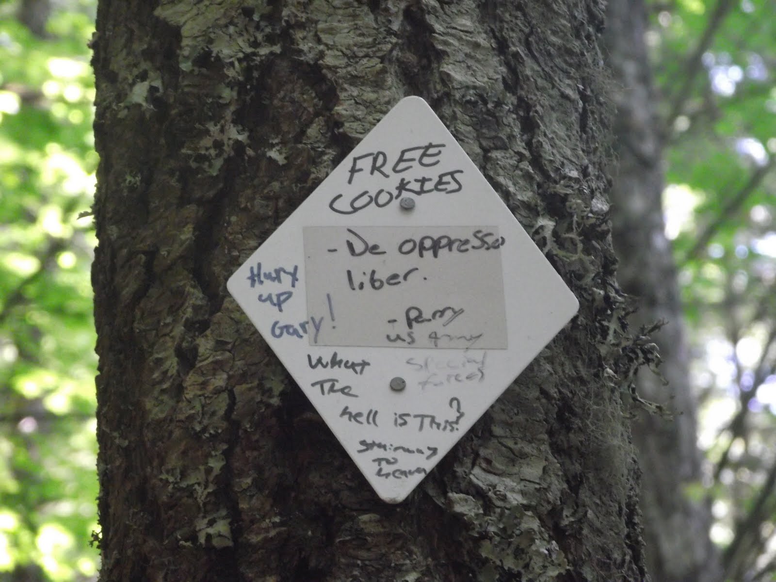
| They know how to motivate us! Free cookies?!?! |
 |
| Climbing the boulder field ALL the way to the top was the most exciting part! You could already see spectacular views behind us. |
 |
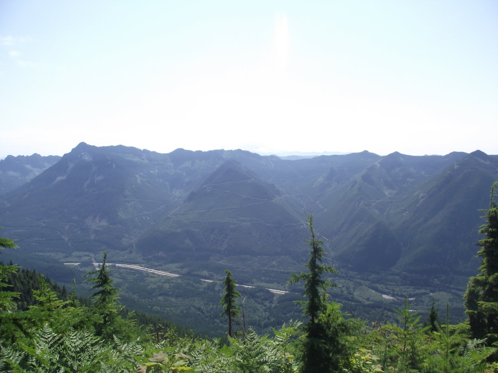
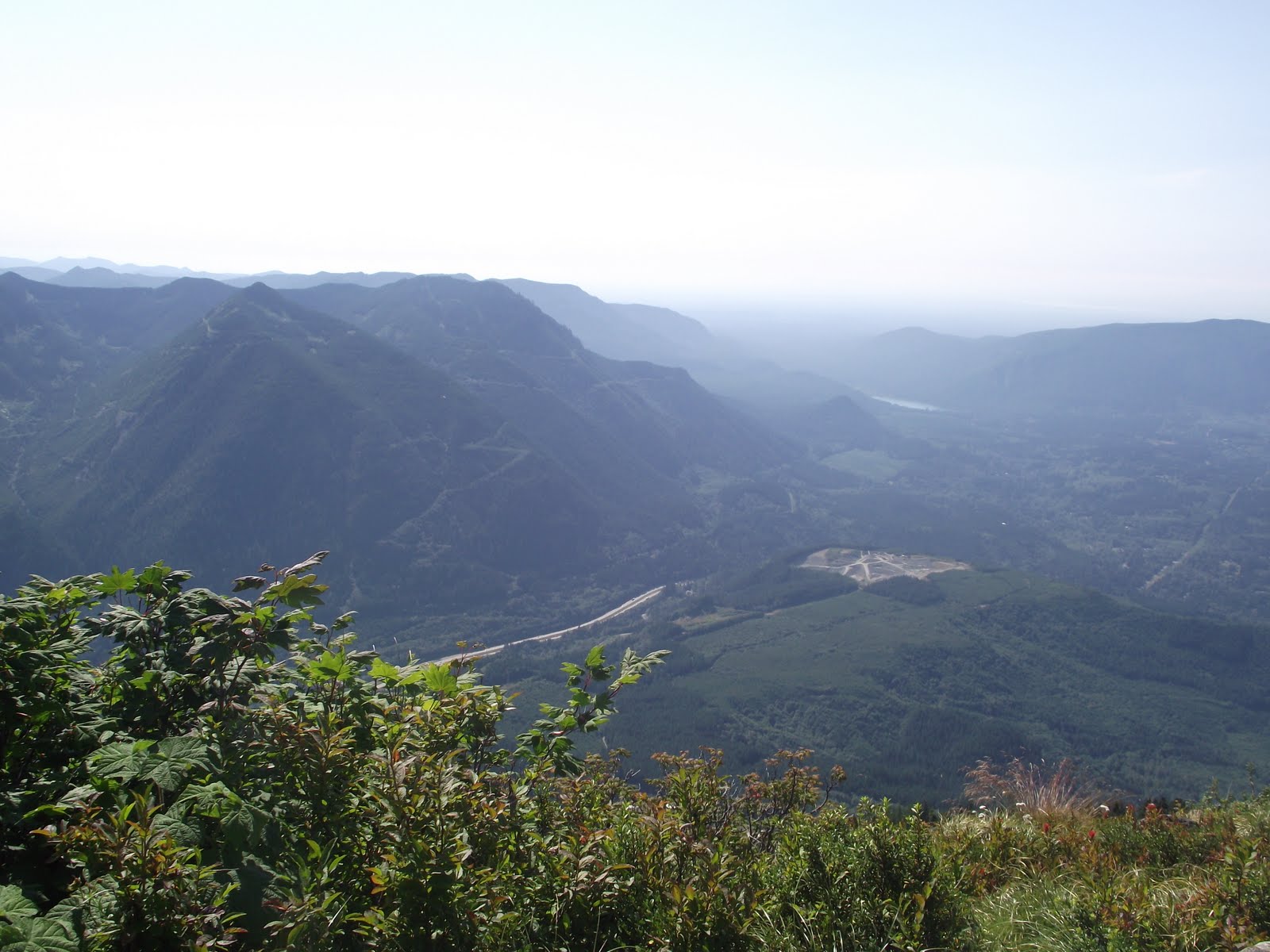
| You can see I-90 down below. |
 |
| You can just see the peak at the top. |
 |
| Collin is way out on a ledge and you can see I-90 in the background. |
 |
| Tiny little building I spotted in the distance. |
 |
| A plane flew by a few thousand feet below us. You couldn't even hear it, and this picture is VERY zoomed in to spot it. |
 |
| It's extremely difficult to see in the picture, but downtown Seattle and Bellevue are in the distance in the fog. |
 |
| North Bend and I-90 |
 |
| Mt. Rainier |
 |
| Mailing our P. Calavara post card. |


Awesome, I would love to do this hike! We were about 3000 ft below you guys just a few miles away at Twin Falls trail :)
ReplyDeleteWe should go hiking together someday!